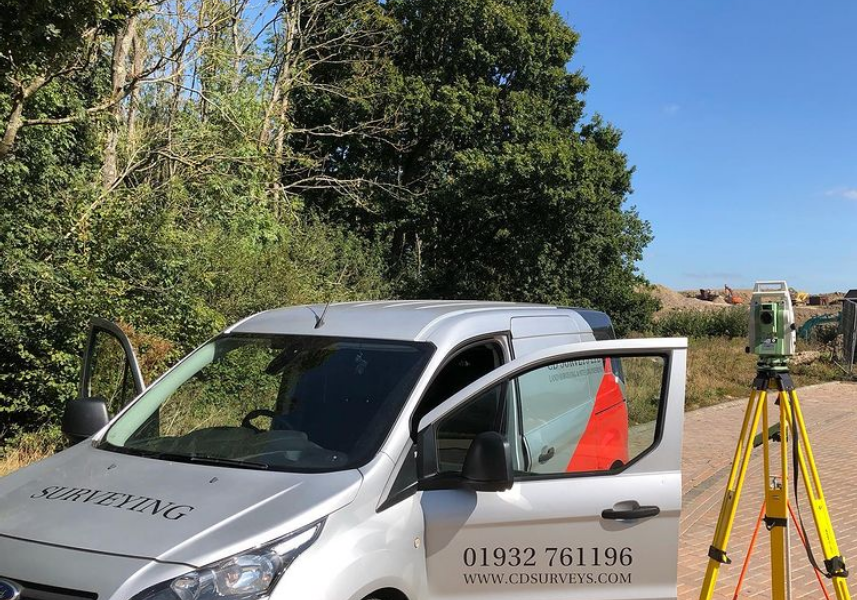
Company details for:
CD Surveys Ltd
(4)

0178...
Pentire Stable,
Fordbridge Road,
Sunbury On Thames,
Middlesex,
TW16 6AX,
United Kingdom
Quick Links:
Products / Services
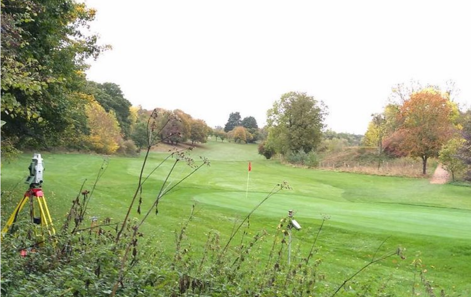
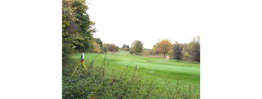
Topographical Surveys
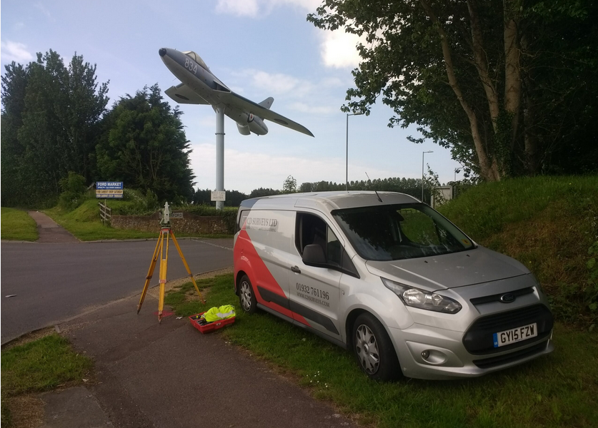
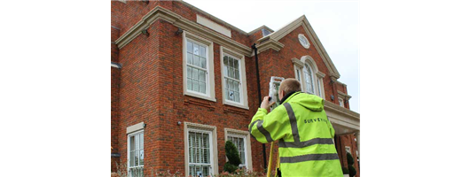
Topographical Surveys are used to establish and describe the ‘undulations’ or contours of the ground being surveyed including exact positioning of features on and around the area being mapped. Features such as trees, buildings, pathways, roads, gullies, manholes, utility poles, walls, etc are accurately surveyed. Topographical Surveys are commonly used for; record mapping, boundaries, building positioning, property sale, planning permission and many more. Provision of the above information can be issued in 3 dimensions for input into a BIM system for total management of a building or construction project.
We carry out all topographical surveys in accordance with the standard ‘Topographical Survey Specifications’ as set by The Royal Institution of Chartered Surveyors (RICS), the Land Surveyor and the Architect (LSA) and the Manual of Contract Documents for Highways Works, Volume 5, Section 1, Highway Agency and Department of Transport.
CD Surveys Ltd is a proud member of the TSA (The Survey Association) with our chairman, David Watterston a member of the board of directors. For more information regarding Topographical Surveys or to understand what a topographical survey is please follow the link below to the TSA website for more information. www.tsa-uk.org.uk
Detailed Highway Surveys
Detailed Highway Surveys are generally conducted along main roads and streets, require great attention to detail. Along with our normal survey considerations, there are usually issues such as traffic, personnel and the public safety to consider. This especially where large amounts of time are required in the road, due to extra detail required such as; road markings, lane delineation and central reservation information. Roads are normally surveyed to extents of highway boundary, although clients sometimes require, with permission from property owners, to give them information on adjoining building, positions of trees and other relevant detail when planning, large ‘above road’ structures.
Provision of the above information can be issued in 3 dimensions for input into a BIM system for total management of a building or construction project.
Provision of the above information can be issued in 3 dimensions for input into a BIM system for total management of a building or construction project.
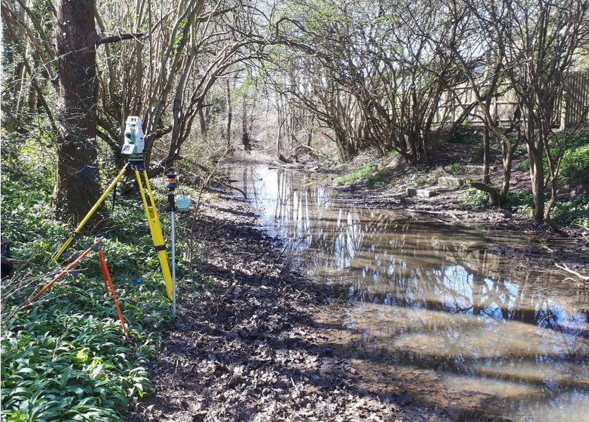
Long & Cross Sections
Provision of long and cross sections from, for instance ditch or river surveys can be provided preferably from a digital terrain model (DTM) of the site. This information could then be used for calculations of flows and volumes in a hydraulic model.
Flood Risk Assessment
Floor or DPC level surveys related to GPS or Ordnance Survey Bench information can then be used to determine whether a building or area of land is liable to flooding. Our information is generally then issued to the Environmental Agency or a specialist company who will then provide a concise report for any Floor Risk Assessment.
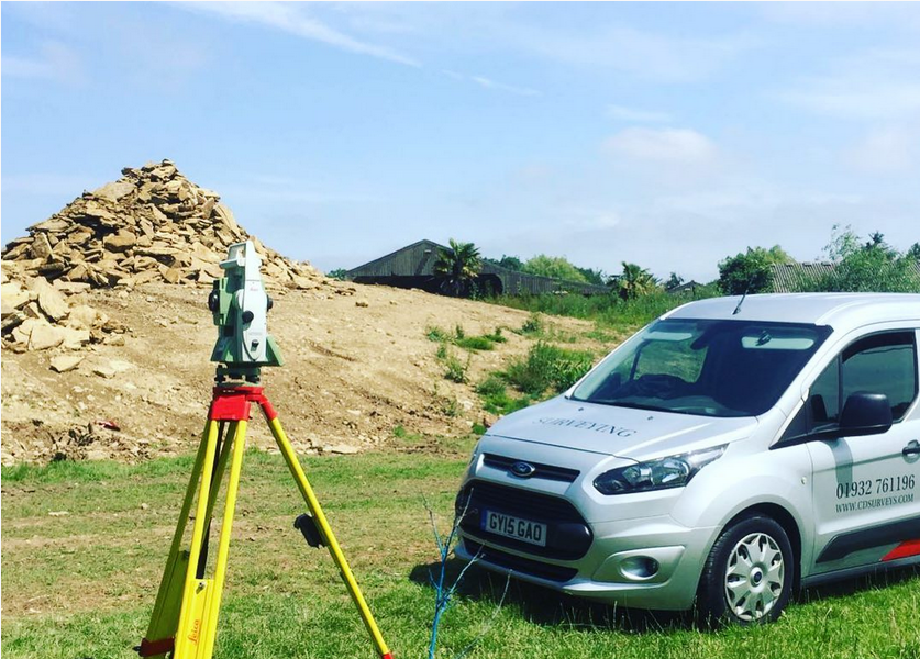
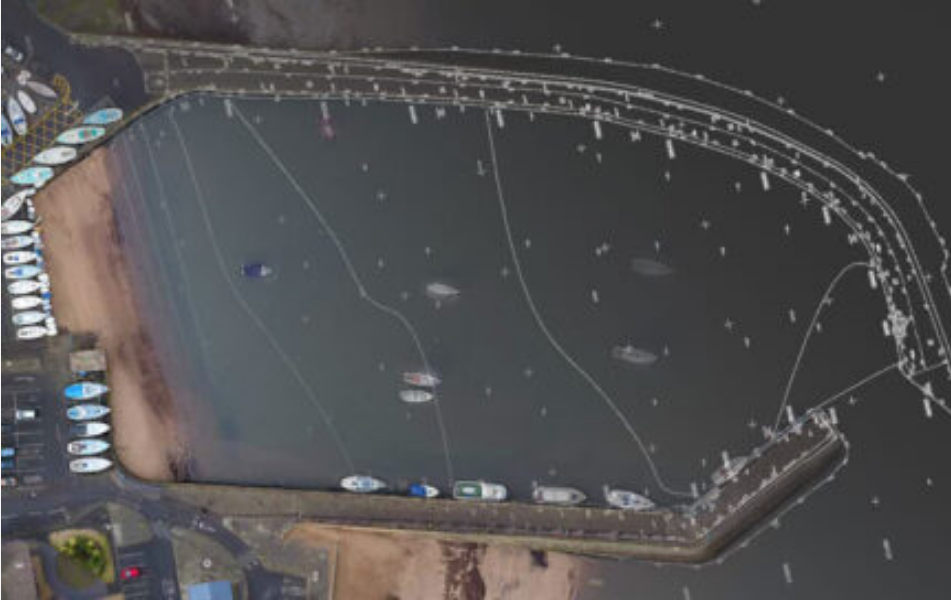
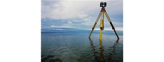
OS GNSS & GPS Survey
GPS (Global Positioning Systems) or GNSS (Global Navigational Surveying Systems) Surveying is the most advanced positioning and data recording technology available to the Land Surveyor in today’s world. Using available Satellites from the US, Russia, Europe and China (generally a minimum of 5 satellites are required at any one time, for position initialisation), the Receivers record satellite signals and with internal receiver software, sub-centimetre accurate horizontal and vertical positioning data can be provided about any point or feature. This data can be related either to the OS National Grid Coordinate system or to your project’s own Local Grid. The recorded data can be processed and manipulated by various software applications, depending on client requirements.
The processed data is then available to the Project Team in various forms to ensure everyone has the highest quality information to hand. This is a system set up and controlled by the U.S. Military. They have at the time of writing, in combination the set up is around 30 satellites in orbit around the earth. These satellites send signals to earth, GPS receivers on the ground pick up these signals. The receivers use the signals from a number of satellites to calculate their own position on the earth’s grid reference system with a sub millimetre accuracy, depending on the equipment used.
We have found that GPS surveying technology is versatile and adaptable and could be utilised in most civil engineering and construction projects. It is user friendly and can link up with various software applications to give the professional surveyor an accurate and all-round surveying tool. Surveyors can work independently from other surveyors on site, allowing greater productivity. However redundancy is required to ensure a robust output is acceptable to the deliverables. This may involve multiple readings over a span of time or be proven with conventual means.
Contour Surveys
Any land (or elevations) with contours depict the ‘undulations’ on the surface of the site or area in question and these are normally shown at quarter or half metre intervals related to the site or Ordnance Survey Grid System and height datum. On elevations these can show irregularities with the contours depicted at 5 − 10mm and could show ‘sags or bulges’ in the façade or structure. Data supplied by CD Surveys or by a third party can be processed, then presented as a fully edited three dimensional Digital Terrain Model (DTM) for the use in Engineering Design on Micro station MX (MOSS) or the PDS design systems.
Boundary Disputes
This area of work generally relates to problems over the curtilage of a property and should be agreed by the owners where at all possible to avoid the stress and costs of ‘going legal’. Solicitors fees are very expensive along with the time and effort to try and agree a legal boundary. A judge will review all information submitted at the time and the outcome may not always suit the decision wanted. Our advice would be to try and avoid this at all cost unless it is blatant whereas photography, statements, historical advice/notes are very useful to build a case. Evidence of any ‘upkeep or maintenance’ together with any other information is essential and the more robust the information is the better chance you have of getting a suitable result.
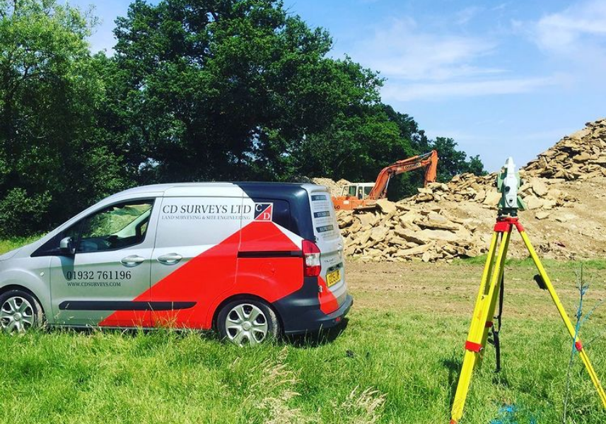
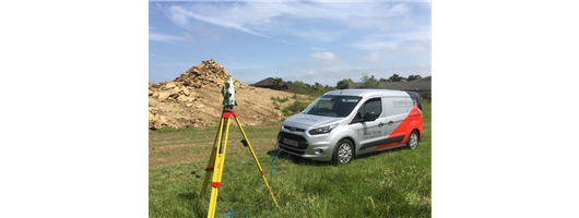
Volume Calculations
Before any volume calculation can be performed a three dimensional digital terrain model is required. This may be from an actual survey we have completed or from a 3rd party source. The more dense the level coverage is over the area the better as this will produce a more accurate model and therefore volume. Break lines, ie. top and bottoms of banks need to defined and a continual ‘string’ around the extents of the site, mound or spoil heap. It should be noted to the reader that we cannot guarantee these volumes as there is ‘Bulking’ to consider and what happens under the mound, heap or land where the volume will be compared to. This is the assumed gradient from one side to the other of the area, mound or spoil heap in question. Output of any volume will be in cubic metres with ‘Cut or Fill’ noted along with the areas calculated.
Site Engineering
Proposed construction needs to be in the right place and at the right height. You will need our professional team to provide services such as site setting out of grids, datums, piles, etc. Volumes and verticality surveys can also be provided.
Building Monitoring
Building monitoring or any structure which may ‘move’ should be checked for movement. This can be in the form of ‘Tell Tales’ adhered to the fabric, Studs drilled and placed at strategic points to then be accurately levelled or targets adhered to the structure to be used in the monitoring of either or all of the 3 axis. Any movement in these 3 axis, ie. differences in Eastings, Northings and Height would be observed and collected using accurate electronic instruments from robust survey stations away and clear from the site.
‘As Built’ Surveys
We can provide details and plans of the project including the “as constructed” stage of works, i.e. these “as built” surveys are very useful to determine whether the construction tolerances have been met, for instance, lift shaft verticality, the levelling of floors and accuracy of the ‘service holes’ within the site are a few instances that come to mind.
A subset of the layout of buildings, but fundamentally distinct, piles are the stress points of any good design and precise location is crucial and cannot simply be corrected at a later stage. Naturally we take great care with all our work and consider thorough checking of all work and data to be a large part of the finished process. For this we prefer to have access to all electronic data from the architects and consulting engineers to verify that all the information “fits” together before we go to site.
A subset of the layout of buildings, but fundamentally distinct, piles are the stress points of any good design and precise location is crucial and cannot simply be corrected at a later stage. Naturally we take great care with all our work and consider thorough checking of all work and data to be a large part of the finished process. For this we prefer to have access to all electronic data from the architects and consulting engineers to verify that all the information “fits” together before we go to site.
Site Setting Out
Whether we are asked to peg out highway boundaries or setting out a centre line with offsets, our Engineers and office based staff work together to ensure that you get your design placed where it was intended, and more importantly to the required accuracy. Setting out foundations, block or brickwork, pinning out preliminary designs, positioning roof or steel structures, providing level datums at all stages of construction, we can do it all.
The co-ordination and location of permanent markers to withstand the rigours of site operations are also required and we can provide relocatable points of reference to either Ordnance Survey control or arbitrary grid data. We perform topographical surveys before or after site work, to ascertain quantity of land removed or working along side ground workers to define levels for foundation or final profiles. Relocating existing property boundaries from title deeds or registry plans, or assisting in the definition of new or disputed ones, we are frequently called on to establish/confirm fence lines or wall positions.
Provision of the above information can be issued in 3 dimensions for input into a BIM system for total management of a building or construction project.
Verticality Measurements
The ‘plumbness’ of structures is very important especially when lift shafts have been installed or changed. This also applies to a new build between flank walls on another property. CD Surveys Ltd can provide verticality measurements prior to the build and will establish whether remedies are required to avoid the clash with adjoining buildings in relation to the proposed construction.

Grid Lines
Any Architectural or Engineering design generally involves the establishment of grid lines which are then used by contractors to ‘set-out internal walls, columns, services, external facades etc. Generally grid lines will be set out on site when we are establishing level datums and other works prior to commencement of the construction. Quite often as these lines will go through the columns or piles, these grid lines can be set out with convenient offsets.

Section 38/109 Drawings
CD Surveys Ltd will undertake “As Built” Surveys to confirm the positions and levels of boundaries; roads, footpaths, cross-overs, light columns, name plates, pedestrian refuge etc. Once the Survey is drawn in CAD and compared to the design it can then be coloured and offered for adoption and the release of the bonds and insurance which were used for the maintenance of the scheme. Should you require help with any of the above please contact our head office.
Section 38 relates specifically to the creation of new highways upon land in the ownership of anyone other than the highway authority. It is an agreement between the land owner and the authority for the construction of new highway and the ultimate adoption by the authority as a public highway.
The agreement secures a bond for the cost of the works, to enable completion of the works by the authority upon default by the developer, usually for reasons of insolvency but occasionally in instances where the developer has failed to complete the works within a specified or ‘reasonable’ period of time. The agreement also identifies fees payable for supervision by the adopting authority. Any developer or his consultants must enter into a process of submitting detailed design proposals to the authority for approval prior to construction works and sometimes the agreement will not be entered into until the highway authority has been satisfied that all of its criteria can be met.

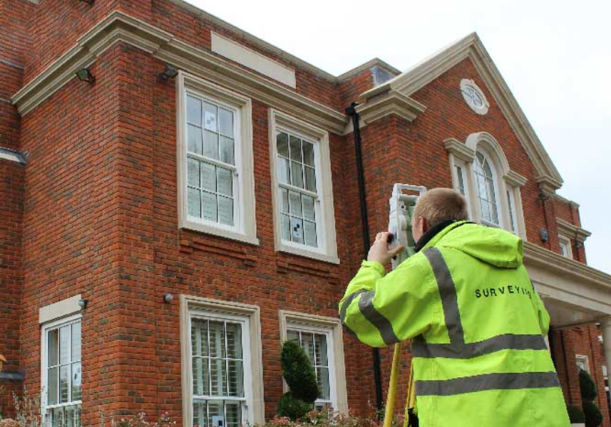
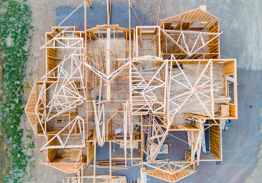
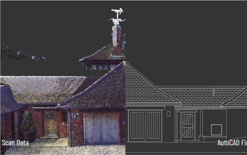
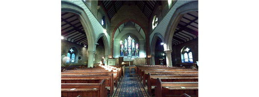
Measured Building Surveying
We have a wealth of experience when it comes to measured building surveys at CD Surveys Ltd.Our experienced surveyors have seen many changes in the way measured building surveys are carried out, from a tape measure, pen and paper to the modern technology of using 3D laser scanners.Over the years our team of surveyors have worked on thousands of measured building surveys including (but not limited to) hospitals, schools, government buildings, offices, residential dwellings, universities, retail centres and churches.
The use of modern 3D laser scanning now enables us to provide the measured building survey in 2D or 3D formats, with varying deliverables available to our client. These could be a 2D AutoCad drawing, a 3D point cloud or a 3D Revit model.
Our measured building surveys provide our client with accurate plans to the appropriate scale and with our experienced team we aim to always complete our surveys with the minimal disruption as possible.We work closely with our client from the first instruction to ensure that each quotation is tailor made to our clients needs and to our clients desired schedule.Our measured building surveys can include Floor Plans, Roof Plans, External Elevations, Internal Elevations, Reflective Ceiling Plans and Cross Sections.
Floor Plan Surveys
For any refurbishment or renovation project, an accurate building survey of floor plans and elevations are essential. Our team deliver your project requirements within a swift timescale and with realistic costs, allowing the project to continue on time and within budget.
Floor plans surveys can be required for record purposes, area calculations, possibly for letting or for refurbishment. The standard prerequisite is to survey walls internally and externally, doors with swings, overhead beams, access to above voids/roofs, windows, stairs, sanitary ware etc. Other detail such as radiators, lights, light switches, major pipework and other fixtures would be quoted as a separate fee. The most common plot scale for floor plans are 1:100m.
Floor plans surveys can be required for record purposes, area calculations, possibly for letting or for refurbishment. The standard prerequisite is to survey walls internally and externally, doors with swings, overhead beams, access to above voids/roofs, windows, stairs, sanitary ware etc. Other detail such as radiators, lights, light switches, major pipework and other fixtures would be quoted as a separate fee. The most common plot scale for floor plans are 1:100m.
Building Elevations
Dependant on the purpose, an elevation survey can show either full detail or outlines for indicative window and door openings for the building. Again the most common plot scale for elevations are 1:100m
Building Cross Sections
Once the ‘building’ survey has been completed with elevations and floor plans the ‘section’ lines are selected (if not established from the client, Architect or Engineer) and a ‘Cross Section’ is formed from this information. However now that we are ‘Laser Scanning’ more and more buildings and sites the supply of cross sections are more concise.
Provision of the above information can be issued in 3 dimensions for input into a BIM system for total management of a building or construction project.
Provision of the above information can be issued in 3 dimensions for input into a BIM system for total management of a building or construction project.
Verified View Surveys
Working closely with our approved partner Rendered Image, we provided the required information to produce the accurate photomontage.
Verified views offer an accurate visual representation of a proposed site and are often requested by the planning authority to support applications for developments.
Using our Leica total station we provide coordinates and levels for the camera positions and then known ‘key’ reference points seen in the photo to enable these photos to be altered accurately.
These surveys are a great way to accurate visualise the impact a new proposed development may have on the surrounding land or to simple see how the proposed site would fit in with the surrounding area.

Street Scene Elevations
These street scene surveys are required to assess the visual impact of a development or a change within the ‘Street Scene’. Generally these are on at least one or two properties either side of the proposed development.
Provision of any of the above information can be issued in 3 dimensions for input into a BIM system for total management of a building or construction project.
Provision of any of the above information can be issued in 3 dimensions for input into a BIM system for total management of a building or construction project.
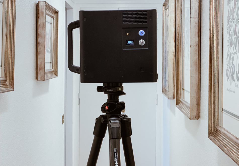
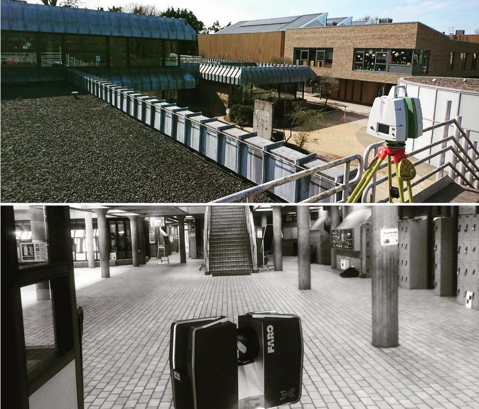
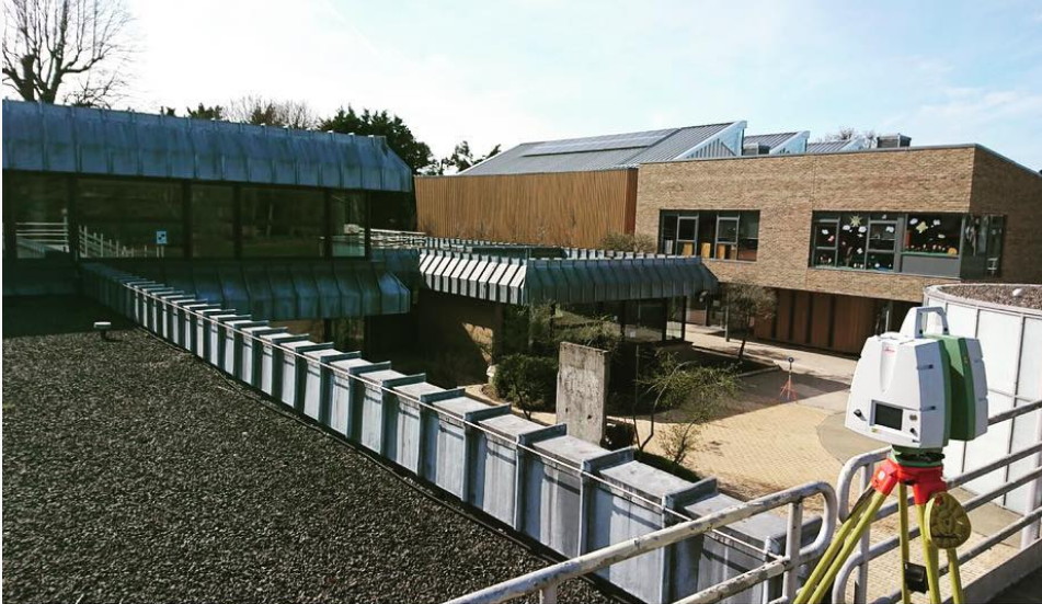
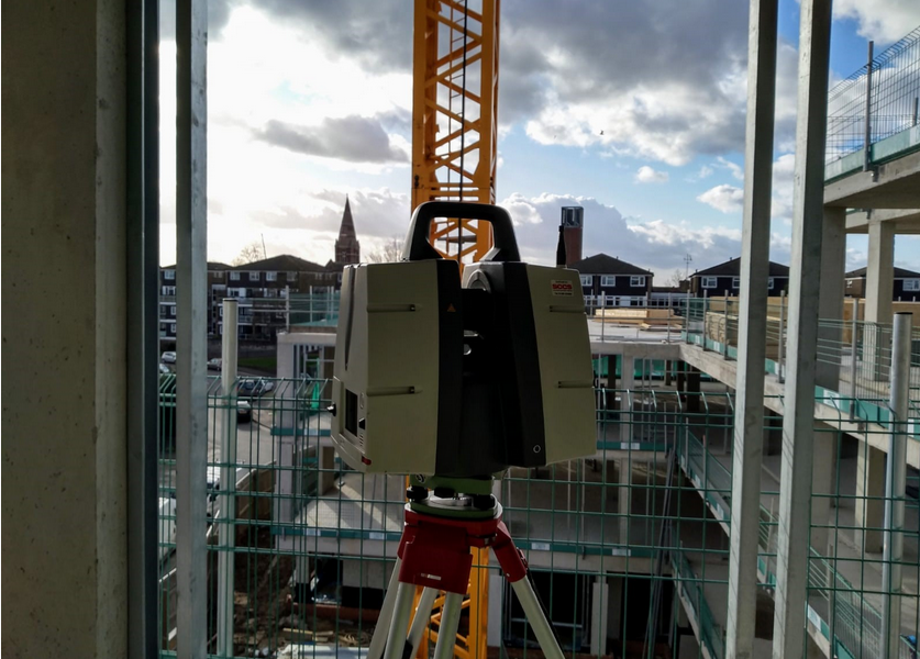
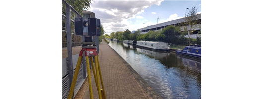
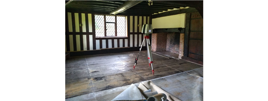
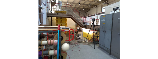
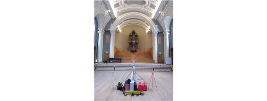
3D Laser Scanning
The relatively new technology of 3D Laser Scanning is a non-contact technology that digitally captures the shape of physical objects using a line of laser light. 3D laser scanners create ‘point clouds’ of data from the surface of an object. In other words, 3D laser scanning is a way to capture a physical object’s exact size and shape.
Using either our Leica P40 scanner or our FARO X 130 3D scanner enables us to record information from site accurately and quickly and in a format that can easily be transferred into design drawings.
Our specialist team of experienced surveyors are able to capture data at a rate of up to 1 million points per second, as a result measurements can be made quickly and easily without return visits to site.
We currently offer the use of the laser scanner for various different services:
Detailed measured building surveys
Street scene elevation surveys
Highway surveys
As-Built surveys
Monitoring
Heritage scanning for posterity
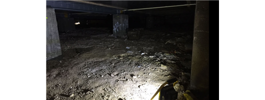
Inaccessible and hazardous locations
We can present the data to you in the following formats:
2D drawings (Elevations, Cross Sections, Floor Plans)
Point Cloud
3D Model
BIM / Revit Models
Using either our Leica P40 scanner or our FARO X 130 3D scanner enables us to record information from site accurately and quickly and in a format that can easily be transferred into design drawings.
Our specialist team of experienced surveyors are able to capture data at a rate of up to 1 million points per second, as a result measurements can be made quickly and easily without return visits to site.
We currently offer the use of the laser scanner for various different services:
Detailed measured building surveys
Street scene elevation surveys
Highway surveys
As-Built surveys
Monitoring
Heritage scanning for posterity
Inaccessible and hazardous locations
We can present the data to you in the following formats:
2D drawings (Elevations, Cross Sections, Floor Plans)
Point Cloud
3D Model
BIM / Revit Models
About us
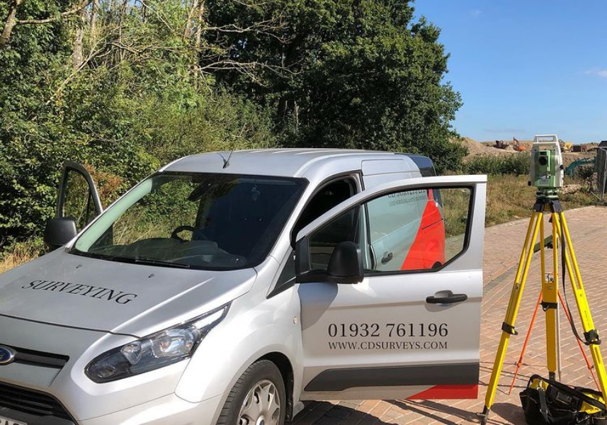
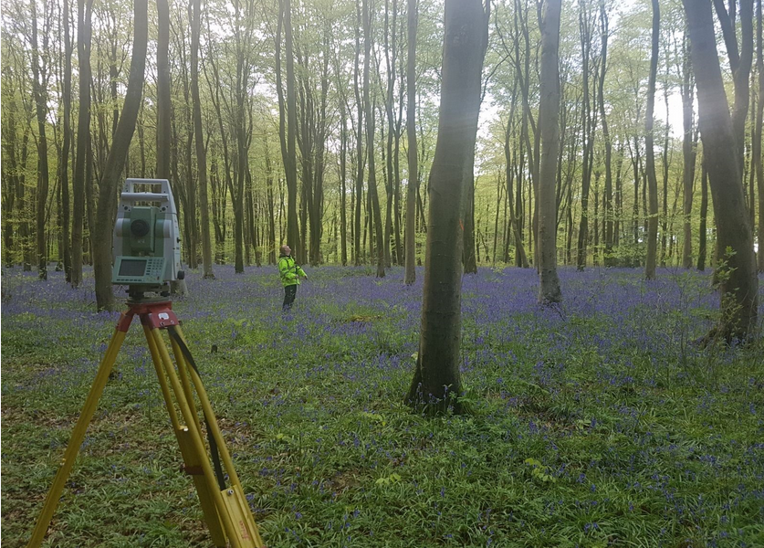
With over 26 years’ experience in the site surveying business, CD Surveys Ltd have a combined wealth of experience in numerous surveying systems that are carried out for both commercial and industrial projects throughout the UK.
Based in Middlesex, our company specialises in supplying the construction industry with expert surveying and consultancy that is second to none, working alongside customers across the country to improve existing projects as well as new ones.
Here at CD Surveys, some of our best known services include;
Land Surveying − Topographical Surveys, Detailed Highway Surveys, Long & Cross Sections, Flood Risk Assessment, Contour Surveys, Volume Calculations.
Site Engineering − Building Monitoring, “As Built” Surveys, Site Setting Out, Verticality Measurements, Grid Lines, Section 38/109 Drawings.
Measured Building Surveying − Floor Plans Surveys, Building Elevations, Building Cross Sections, Verified View Surveys, Street Scene Elevations.
We as a company pride ourselves on professionalism, efficiency and attention to detail. We have developed numerous close working relationships with customers over the years to provide outstanding surveying services that are unparalled within the industry. We will ensure that all clients receive excellent treatment from our team of design technicians and consultants who have worked with some of the UK’s leading brands such as Barratt, Linden Homes, Wates Group and more.
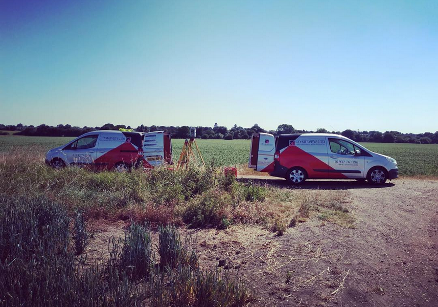
Here at CD Surveys, we provide our services across multiple UK areas including Surrey, Hampshire, Oxfordshire, Wiltshire, Buckinghamshire, Berkshire, Hertfordshire and London. Our team of engineers and surveyors are fully qualified in their areas of expertise, which has allowed for our company to grow significantly in reputation in recent years.
We value the needs of our customers and make it our number one priority to meet their specifications and requirements accordingly.
Based in Middlesex, our company specialises in supplying the construction industry with expert surveying and consultancy that is second to none, working alongside customers across the country to improve existing projects as well as new ones.
Here at CD Surveys, some of our best known services include;
Land Surveying − Topographical Surveys, Detailed Highway Surveys, Long & Cross Sections, Flood Risk Assessment, Contour Surveys, Volume Calculations.
Site Engineering − Building Monitoring, “As Built” Surveys, Site Setting Out, Verticality Measurements, Grid Lines, Section 38/109 Drawings.
Measured Building Surveying − Floor Plans Surveys, Building Elevations, Building Cross Sections, Verified View Surveys, Street Scene Elevations.
We as a company pride ourselves on professionalism, efficiency and attention to detail. We have developed numerous close working relationships with customers over the years to provide outstanding surveying services that are unparalled within the industry. We will ensure that all clients receive excellent treatment from our team of design technicians and consultants who have worked with some of the UK’s leading brands such as Barratt, Linden Homes, Wates Group and more.
Here at CD Surveys, we provide our services across multiple UK areas including Surrey, Hampshire, Oxfordshire, Wiltshire, Buckinghamshire, Berkshire, Hertfordshire and London. Our team of engineers and surveyors are fully qualified in their areas of expertise, which has allowed for our company to grow significantly in reputation in recent years.
We value the needs of our customers and make it our number one priority to meet their specifications and requirements accordingly.

Images


Brochures
Reviews
Trade Associations